


The National Weather Service (NWS) says Columbia saw a record high temperature of 80 on Monday, shattering the old record of 77 degrees that was set in 1996. NWS St. Louis meteorologist Melissa Mainhart expects another record high today , with temperatures in the low 80s. We’ll also start seeing a huge drop in temperatures today.
“The record high that is currently standing is 75 degrees set in 1976, and obviously the low 80s are quite a number of degrees above that. And then what’s going to happen is that overnight we’re going to have a cold front move through the area, and that is going to drop temperatures almost 50 degrees,” Ms. Mainhart says.
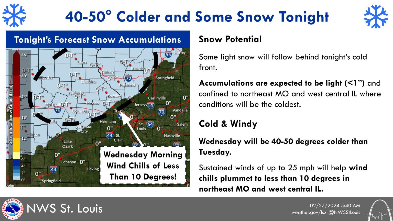
Ms. Mainhart tells 939 the Eagle that the 50-degree temperature drop will happen between 3 pm today and 6 am tomorrow (Wednesday). We could see some snowflakes overnight.
“So lows Wednesday morning are looking like in the mid-Missouri area that they’re going to be in the low 20s. That’s going to come as quite a shock to us,” says Mainhart.
Mainhart is not expecting severe storms in the Columbia or Jefferson City areas today or tonight. She predicts temperatures will rebound to near-normal on Thursday, with above normal temperatures on Friday.
Keep your radio tuned to 939 the Eagle for updated forecast information.