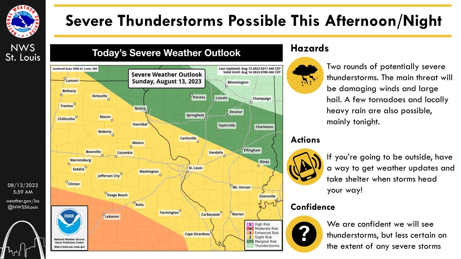
The National Weather Service (NWS) says the best chance of severe weather Sunday evening into the overnight hours will be south of the Lake of the Ozarks and across southern Missouri. However, Columbia, Jefferson City, Boonville and Fulton could see some severe weather tonight into the early-morning hours.
NWS St. Louis meteorologist Melissa Byrd tells 939 the Eagle that the Columbia area has an isolated chance of a severe storm this evening, with potential threats being damaging winds and hail. There’s also a severe weather threat for later this evening, into the overnight hours.
While models have changed a bit, the NWS says the best chance of severe weather will be from the Lebanon area south, down the I-44 corridor. The storms will move out of mid-Missouri by early Monday morning, bringing dry and quiet weather through mid-week. Monday’s high is expected to be about 79 in central Missouri.


